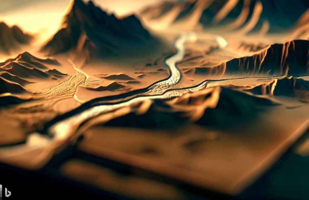
Historical maps rendered in three dimensions with Blender and QGIS.
Blender and QGIS
Old printed maps carry decades of field work, but on paper they are flat. Georeferencing a scan in QGIS and draping it over a digital elevation model in Blender turns it into a landscape: the relief explains the geology, the drainage and the settlements drawn on the original sheet.
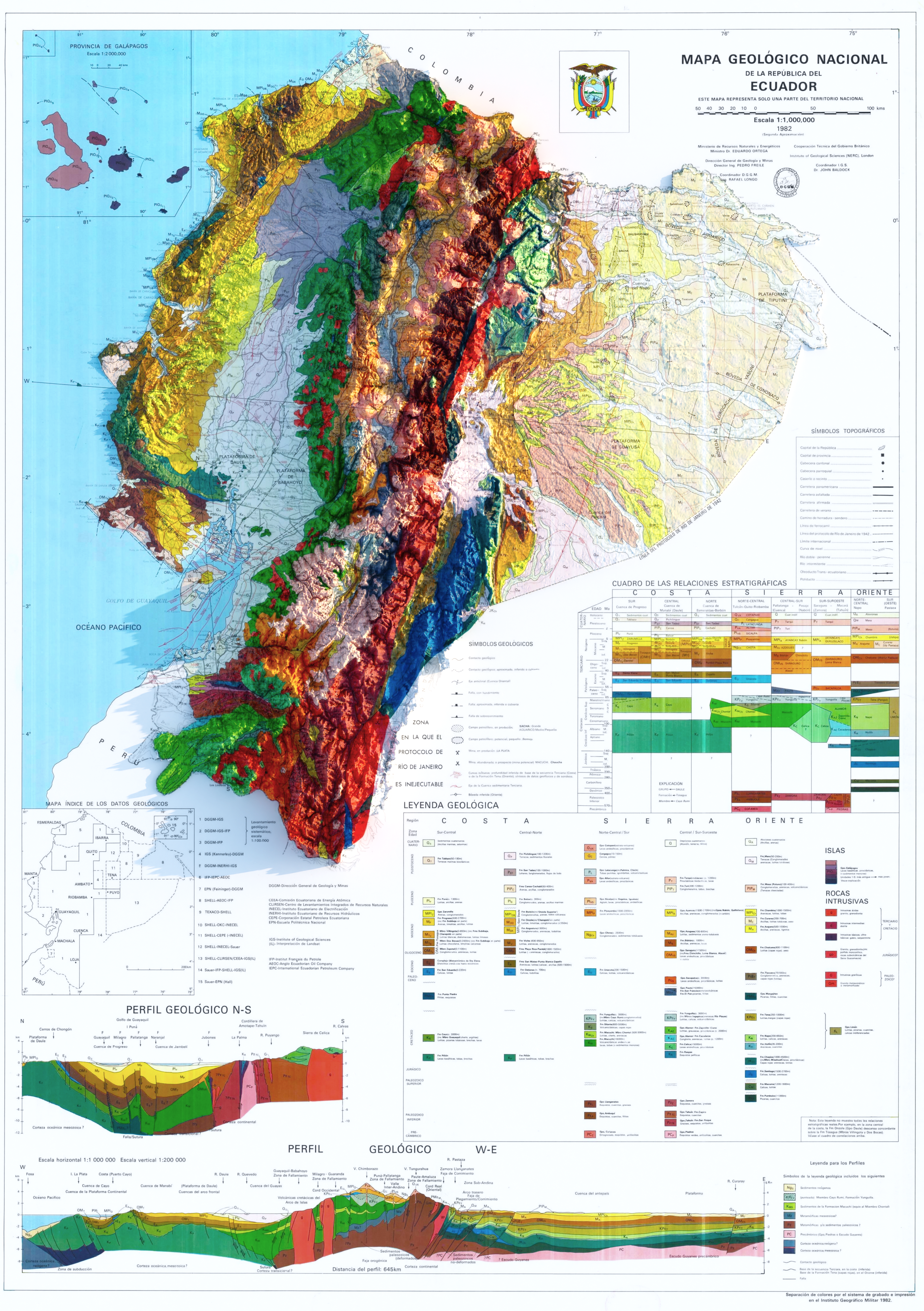
Geological map of Ecuador, 1982
The 1982 geological map of Ecuador draped over SRTM 30 m elevation data and rendered in Blender. The relief makes the structure of the Andes and the coastal and Amazon lowlands readable at a glance.