Guides built from real projects, with code you can run.
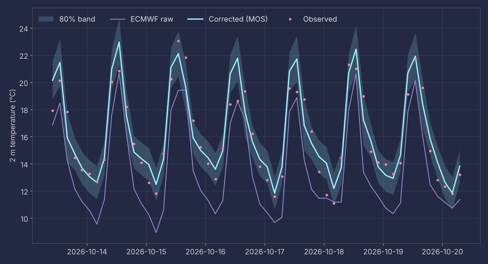
Correcting a weather forecast for one station (MOS)
Take a raw ECMWF temperature forecast and correct it for a single station with a regression per hour of day. Includes walk-forward evaluation against the diurnal climatology, the baseline that matters in the tropics.
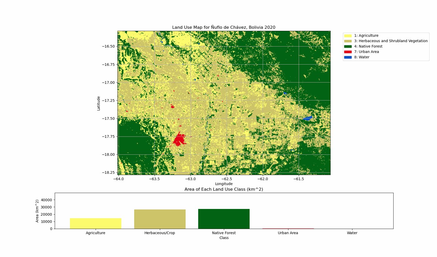
Land-cover change analysis with ESA CCI
Download ESA CCI land cover with trends.earth, reclassify 37 classes into 6, measure the area of each class from 1992 to 2020 and turn it into an animated map.
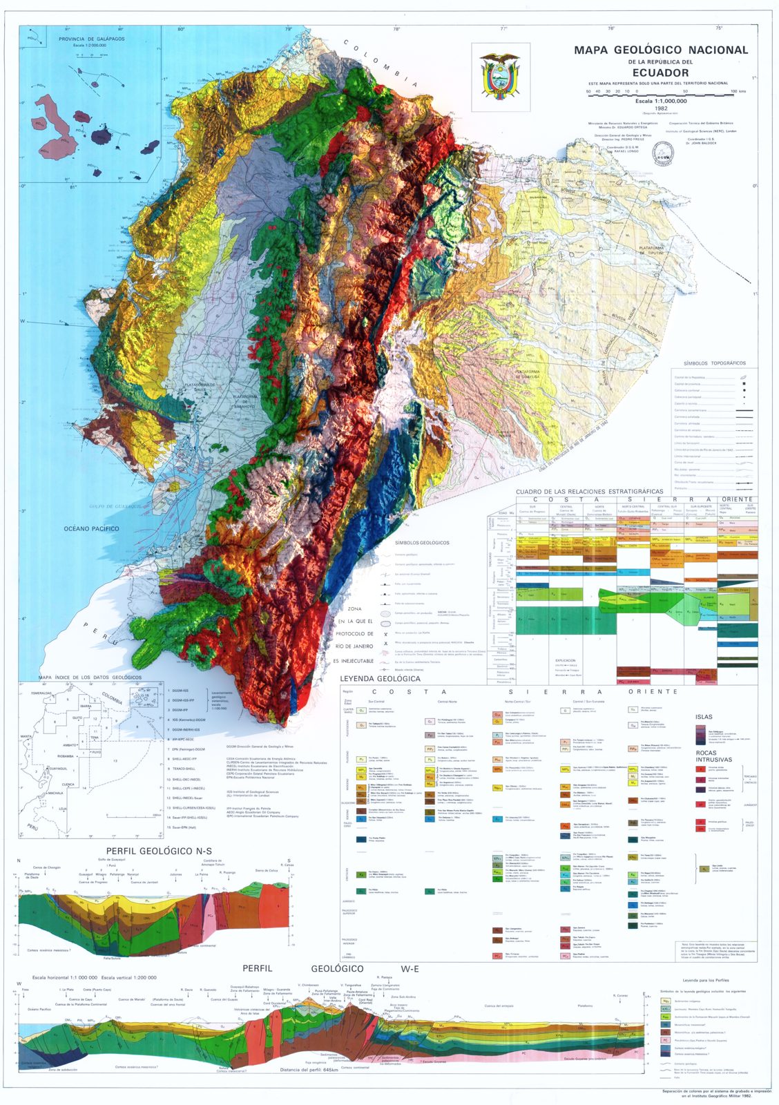
3D renders of historical maps
Drape a scanned historical map over a digital elevation model and render it in 3D with Blender.